


Federated data spaces for open data sharing, real vehicle emissions and sustainable urban mobility.
EMOVA is built on the blueprint of the European Data Space for Smart Communities.
Connect. Share. Decide.
Connect
Data providers plug into the EMOVA data space through Eclipse Dataspace Components connectors. Nothing is copied to a central platform — data stays where it lives.
Share
Emissions, satellite, rail, freight and weather data are shared under ODRL usage policies, so every transaction is traceable and every provider keeps control.
Decide
Cities get operational intelligence services — evidence for low-emission zones, freight corridors and mobility plans, ready to act on.
Two cities, 3 use cases, real-world proof
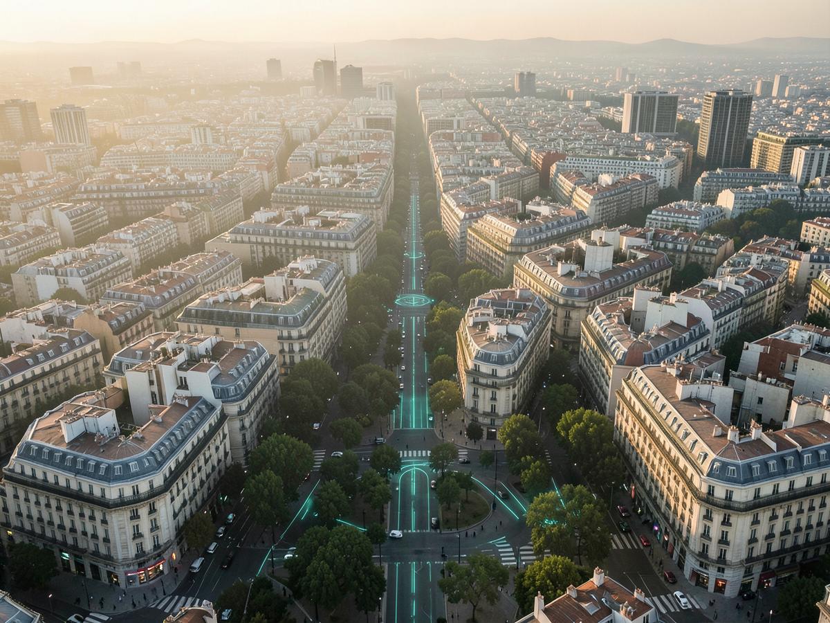
Real tailpipe emissions, measured by remote sensing, are cross-referenced with satellite air-quality maps to show whether Barcelona's low-emission zones deliver on their promise. Rail and GNSS monitoring complete the picture of how the metropolitan area moves.
By combining real-time FGC train operational data with Galileo-augmented GNSS corridor mapping to optimize rail infrastructure and track modal shift. Satellite weather and air-quality monitoring at stations deliver smart, real-time recommendations directly to passengers.
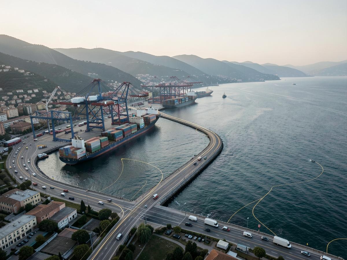
Genova's port freight corridor is monitored across 520 km of road network, refreshed every 3 minutes and layered with weather and infrastructure data — giving operators and the city a live, shared view of freight flows.
Operational numbers from the pilots
Your data stays yours
EMOVA runs on Eclipse Dataspace Components connector technology, implemented by partners including i2CAT and Cefriel. Data providers retain full control and ownership of their data at all times; an accepted usage policy: nothing moves without one, and every exchange is GDPR-compliant by design.
A consortium built for real deployment
12 organisations across 3 countries, coordinated by Factual Consulting.
Coordination, Legal & Public Institutions




Data-space infrastructure


Private sector data providers






Funding Programme
Replicate the EMOVA model in your city.
Tell us about your case, and we'll show you how to apply this approach to your low-emission zone or freight corridor.